
How an Ontario Street Directory Trail Starts
A street-by-street search works best when one address stays at the center of the notes. Start with the exact number, direction, street name, suffix, unit, and postal code. The county assessor translates that string into an APN. County GIS shows the parcel in its physical setting. The recorder then supplies a name-keyed trail, because San Bernardino County does not maintain a recorder search by street address. Historical directories and census schedules add occupants, while permits and building surveys explain physical change. Each step answers a different question, so a result from one system should not be stretched to fit another.
- Normalize the street string, preserving a unit number and every directional or suffix variation.
- Search the county property system by address and save the returned APN and situs address.
- Open the APN in the county GIS viewer, confirm the parcel, and click nearby polygons only as needed.
- Use the current owner's name as a grantor or grantee in the recorder index, then read the instrument or order a copy.
- Compare the dated owner trail with permits, directories, census schedules, newspapers, and the local history collection.
The final result is a documented address history rather than a claim that every person connected with a property has been found. That is the central discipline of an Ontario street directory.
Normalize an Ontario Street Address First
Ontario's postal geography, city boundary, parcel jurisdiction, and historic street grid are not interchangeable. Keep the postal ZIP as one field and the physical street as another. The core residential delivery areas are 91761, 91762, and 91764, while 91758 requires live USPS verification rather than treatment as a normal neighborhood. A postal Ontario label does not prove that a parcel is inside the incorporated city, and a city parcel can carry a delivery label shaped by routing.
Write both the modern form and any historical form found in a directory, map, or newspaper. The Model Colony grid centered on Euclid Avenue and later southern growth changed the record landscape. Older north and central parcels may appear in the 1907 Sanborn atlas and printed directories. Newer Ontario Ranch addresses are more likely to begin with a tract map, subdivision instrument, permit, and current assessment roll.
Use USPS for delivery verification and county GIS or permit jurisdiction for the municipal question. Do not ask the recorder to search a ZIP or assume that a ZIP filter exists just because a portal displays a postal address.
Ontario PIMS Turns Street Addresses into APNs
The San Bernardino County Property Information Management System is the address-to-parcel bridge in an Ontario street directory. Its documented search controls are short, which makes the output easier to audit. Use a property address when the street is known, or an APN when another record has already supplied it. Save the returned situs exactly, because a tax mailing address may point somewhere else.
| Field or control | Type | Format and use |
|---|---|---|
| Assessor Parcel Number | Text | County APN digits; punctuation tolerance should be tested |
| Property Address | Text | Street number and name; directional and suffix variants matter |
| Search | Button | Opens the matching parcel or property report |
A parcel report can include APN, situs, property type or use, tax-rate area, assessed land and improvement values, exemption information where publishable, square-footage or lot facts, year built, and a map link. The assessor warns that assessment data does not decide legal ownership or permitted use. Owner details may be suppressed online under California privacy protections. A street directory should retain the APN as a reference key and avoid copying any protected personal detail.
Open the county property-information entry point before beginning the address chain. It is the correct first system for a parcel clue, not a replacement for the recorder.
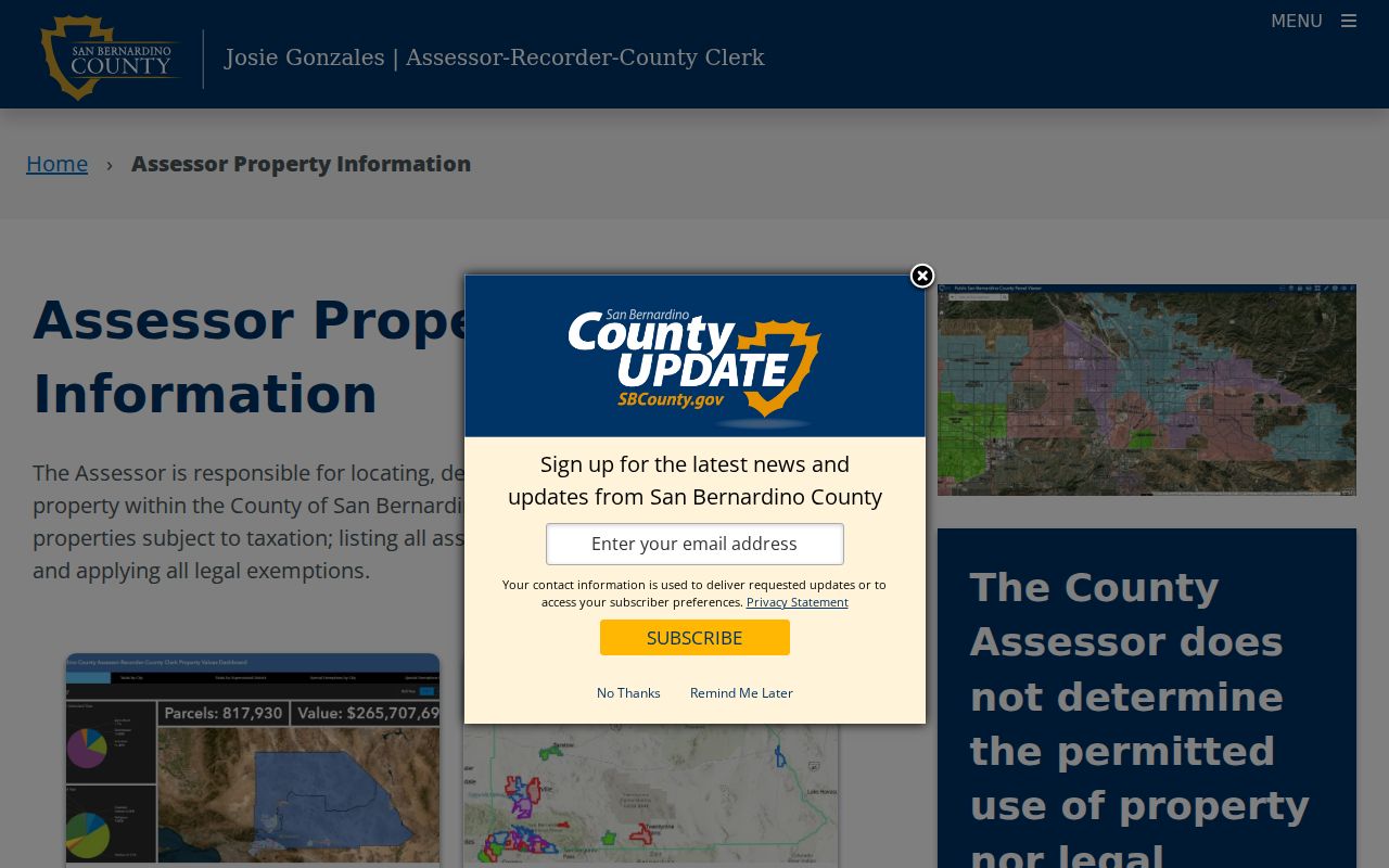
The county property-search screen shows why the street directory begins with the parcel key. The map and recorded-document steps become more precise after the address has been resolved.
Browse an Ontario Street in GIS
The San Bernardino County ArcGIS gateway supplies spatial context that PIMS alone cannot. Search or geocode the address or APN, confirm the jurisdiction and situs, turn on parcel or boundary layers, and use the identify popup on the subject polygon. Pan along the frontage and click adjacent parcels one at a time. A map can show shape, APN, road context, tract or lot attributes, and links to another property report. It is not a title opinion, survey, or complete list of occupants.
| GIS control | What it contributes |
|---|---|
| Address or APN search | Zooms to the subject parcel and tests the returned location |
| Basemap gallery | Provides street or aerial context |
| Layer list | Shows parcels, boundaries, and app-specific planning layers |
| Identify popup | Exposes APN, feature attributes, and possible report links |
| Measure or select | Adds spatial context; export behavior depends on the app |
The county GIS gateway is useful for walking a street and for the immediate-block question. Keep the map's APNs separate from the recorder's document numbers. A parcel polygon can neighbor another parcel without sharing an owner, occupant, or legal description.
Ontario Records That Follow Addresses
An Ontario street directory gains strength by joining address-keyed systems without treating them as duplicates. The assessor starts the chain. GIS adds shape and adjacency. Permits place work and named participants at a date. The recorder supplies party and document evidence only after a name or document key is known. Historical reverse directories can identify an occupant or business in a publication year. Voter records are limited to qualified uses and are not an open street-browse tool.
| Record set | Keeper | Street clue | Access |
|---|---|---|---|
| Assessment parcel | County Assessor | APN, situs, value, characteristics | Free PIMS search |
| Parcel geometry | County GIS | Boundaries, roads, layers, adjacent APNs | Interactive viewer |
| Recorded instruments | County Recorder | Parties, title, date, document number | Free index; copy or office image |
| Permits and code files | City of Ontario | Work, applicant, contractor, address events | Online search or request |
| Reverse directories | Model Colony History Room | Dated occupant or business at a number | Staffed research collection |
| Qualified voter file | County or state elections office | Restricted registration address evidence | Purpose-limited access |
That coverage table explains why a street search can be rich without being complete. A parcel may have a recorded owner and no directory entry. A directory may list an occupant while the assessor mailing address belongs to someone else. A permit can name an applicant or contractor who never lived at the address.
Ontario Street Addresses Can Diverge
Situs means the physical location of the parcel. Mailing address means where the tax notice or other correspondence is sent. A legal description identifies the land through a tract, lot, block, or related description. An APN identifies the assessment parcel. These four labels should never be collapsed into the word “address.”
- Parcel
- A mapped assessment unit identified by an APN; it can change after subdivision or combination.
- Situs address
- The physical site used by assessment, GIS, permits, and emergency systems.
- Legal description
- The land description in a recorded instrument, often more stable than a street number.
- Criss-cross directory
- A reverse section that starts with a street and number, then names an occupant or business for that edition.
The distinction matters for a current street directory. A matching mailing and situs address may support an ownership clue, but it does not prove present occupancy. A different mailing address may locate the owner elsewhere, a manager, an office, or a PO box. Household members, unlisted occupants, and people protected by a confidentiality program may not appear in any public source.
Ontario Deed Records Need a Name Bridge
San Bernardino County's recorder index is keyed to grantors, grantees, document numbers, dates, titles, and related references. It does not provide a street-by-street ownership browse. Begin with the PIMS APN and the name shown in the current assessment context, then search that name in both roles. Narrow by a likely date and document title such as deed, deed of trust, reconveyance, lien, release, easement, or map.
The public index does not display instrument images. The official records page lists an index beginning in 1925, while the county property-research guide describes computerized grantor and grantee access from 1958 and sends pre-1958 work to microfilm. For an older Ontario street, call Recorder-Clerk Services at 909-387-8306 and ask which series applies. The legal description, not the street label alone, is what lets a chain continue when names or numbers change.
The recorder public-access entry screen warns that the index is a catalog and that spelling variations matter. Search every plausible name form, record the document number, and order or inspect the copy before describing a transfer.
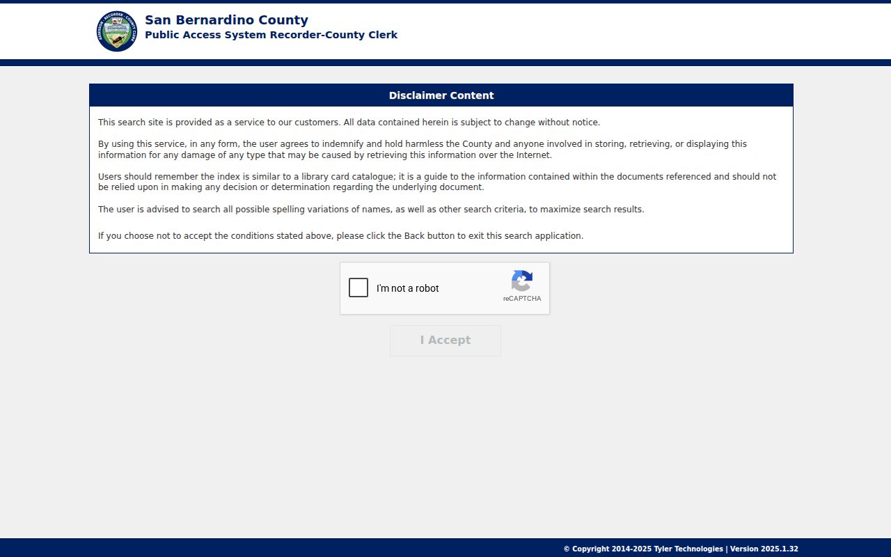
The recorder screen is the handoff from a parcel key to a party search. It cannot, by itself, establish who currently occupies an Ontario address.
Ontario Permit Records Add Dated Clues
Building and planning files add a time stamp to an address. Ontario's Accela Building search exposes Record Number, Parcel Number, street-number range, Direction, Street Name, Street Type, Unit Type, Unit Number, Search, and Clear. Planning searches can add Record Type, Start Date, End Date, and additional criteria. Those fields can connect a parcel to a permit, application, work description, contractor, or owner representative when the public record makes the field available.
A permit applicant is not necessarily a resident. A contractor is not necessarily an owner. Code-enforcement records can contain exemptions for complainant identity, active investigations, personal contacts, juveniles, or other protected information. Use the address and permit number to request an identifiable file rather than asking the city for a new list of people.
Ontario's Accela Building gateway provides the address and parcel search path. Its dropdown inventory and stable sample result were not exposed in the research, so do not promise a broader filter set than the documented fields.
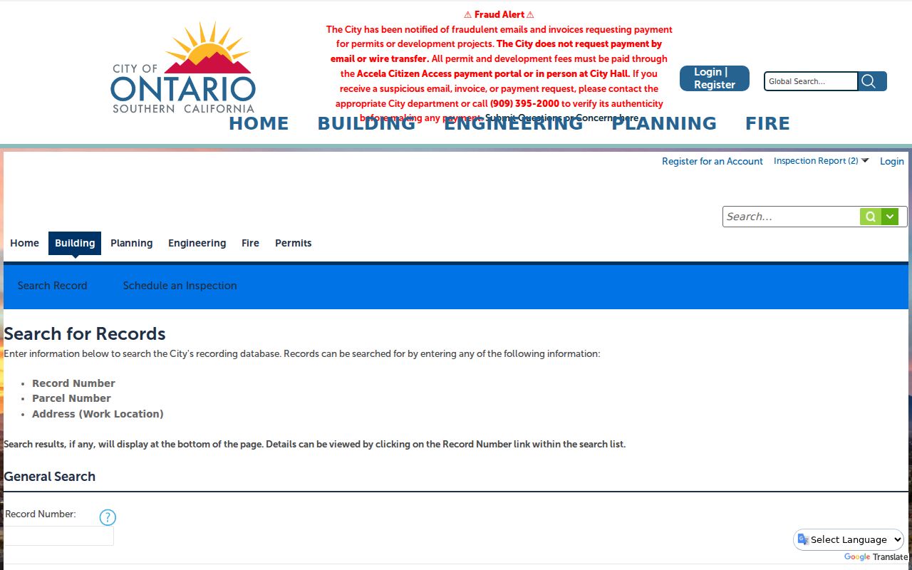
The permit search belongs beside the parcel and deed trail. It helps explain work at a location, not the full story of who lived there.
A Criss-Cross View of Ontario Streets
The Model Colony History Room's reverse and criss-cross holdings are the historical address tool that modern portals do not replace. A 1957 Ontario and Upland criss-cross sample begins with a street and direction, identifies intersections and numbers, then lists businesses or residents by location. Apartment entries can split into units and mark a vacant unit. Abbreviations may distinguish a house, rooms, boarding, or a widow notation, but the key at the front of the exact volume controls.
Use the street section to find a dated occupant, then turn back to the alphabetical section to follow a surname. Record the edition, page, street spelling, number, unit, occupation, and any abbreviation. An absence can reflect a missing edition or an unlisted person. Pair the result with a deed, census, newspaper, or obituary rather than treating the directory as proof of title.
The older shelf is covered end to end in the Ontario city directory collections page. The street directory keeps only the reverse-search method here so current parcel work and historical occupant work do not blur together.
Ontario's Historic Address Search
The Ontario Historical Resources Inventory, or CHRID, adds a local address, APN, and building-search route. It is useful when a street question concerns a historic resource, survey entry, or building context rather than a current household. Compare its result with PIMS, GIS, a tract map, and the directory street guide.
The Ontario Historical Resources Inventory search page is the direct address and APN entry point. A historic-resource result can help stabilize a building identity, but it does not create a resident list or establish present occupancy.
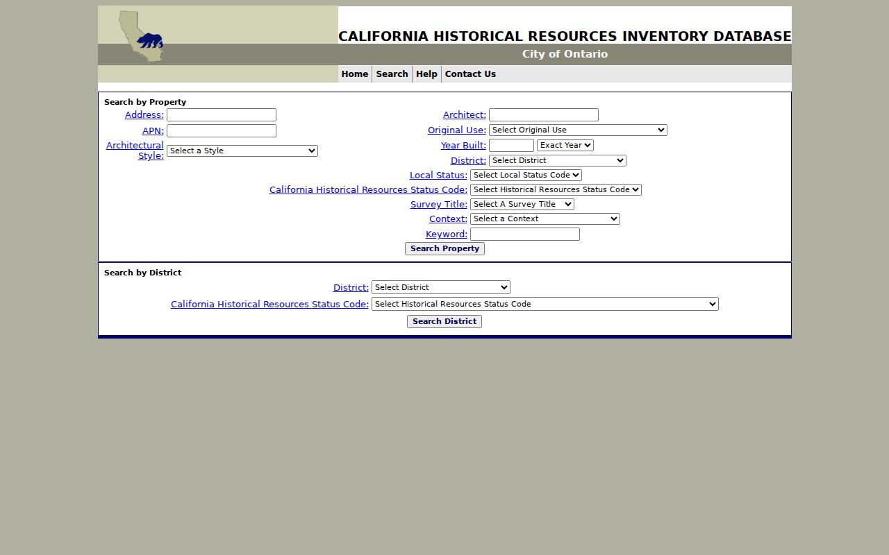
The CHRID screen belongs between the modern parcel search and the historical directory shelf because it links a present address to local building history.
Ontario Sanborn Maps Anchor Street Records
The 1907 Ontario Sanborn atlas contains 17 sheets and records street names, numbers, building footprints, materials, uses, and surrounding context. It is an address anchor, not a resident roll. When an old directory gives a number that no longer matches a modern parcel, compare the street guide, the Sanborn sheet index, a tract map, the legal description, and a newspaper or building survey. That sequence is especially useful across the older Euclid-centered grid and later southern expansion.
The Library of Congress copy is free to view online. The map can show that a location was a residence, apartment, business, or open land in January 1907, but it does not name each person. Use it beside the History Room directory shelf, census schedules, deeds, and permits. The physical footprint may be the clue that makes two differently written addresses comparable.
Note: A historic map can stabilize a place name or number, but only a named record can support a claim about a particular person.
Ontario Street Directory Limits
Property and address records are not a complete household inventory. The assessor is not an occupancy register. GIS is spatial. A deed identifies a recorded interest. A permit identifies a project participant. The voter file is restricted and cannot be used as a public neighbor browse. DMV address data is protected by the federal Driver's Privacy Protection Act, and utility-customer data is not a public substitute.
Lawful use. Use Ontario street and parcel records for personal, lawful research, family history, property understanding, or civic purposes. Public access never authorizes stalking, harassment, intimidation, doxxing, trespass, or harm.
If the search concerns one person rather than a whole street, move to the Ontario resident lookup workflow and compare records by role and date. If it concerns the surrounding block, use the separate neighbor method so the scope stays narrow and the privacy rules stay visible.