
Ontario Neighbor Sources at a Glance
A block lookup combines spatial sources with limited person or organization sources. The physical map is the starting point. The assessment system describes parcels. A reverse directory can add an occupant for a historical edition. A qualified voter file is not open for public neighbor browsing. Community programs can offer a contact route without exposing the names of participants. This coverage table keeps those uses distinct.
| Source | What it shows about a block | Access |
|---|---|---|
| County GIS | Adjacent parcel shapes, APNs, roads, jurisdiction, layers | Free interactive map; fields vary |
| County PIMS | Situs, assessment facts, property type, possible owner clue | Free address or APN search; details may be suppressed |
| Recorder index | Recorded parties and instruments tied to a name or parcel trail | Free party index; no direct street browse |
| Reverse directory | Dated occupants or businesses at numbered locations | Model Colony History Room; incomplete by design |
| Qualified voter file | Registration address and precinct fields for an authorized purpose | Not an open public block list |
| Neighborhood Watch | Crime-prevention contact, meetings, decals, and officer support | City program; no participant roster |
The table answers a practical question: which source can show a neighboring parcel, which can show a historical name, and which can only provide a lawful contact route. A neighbor lookup should not turn every block source into a person list.
Click Adjacent Ontario Neighbor Parcels
The reliable public method for finding physical neighbors is to open the subject address or APN in the county ArcGIS gateway, keep parcel boundaries visible, and click the polygons that touch the subject. Basic map panning and identify popups are more dependable than assuming a radius, export, or automated block tool exists. Record each adjacent APN and the jurisdiction shown by the layer.
- Search the known address or APN and confirm the returned situs and city context.
- Turn on parcel and boundary layers, then identify the subject polygon.
- Click the parcels immediately north, south, east, west, or along the same frontage.
- Write down each APN and open its PIMS record separately.
- Stop at the chosen block boundary instead of widening the search into an arbitrary radius.
The San Bernardino County GIS gateway is a map and parcel tool, not an occupant directory. The popup may show APN, situs, tract or lot attributes, and a PIMS link; owner fields can be absent.
Move Ontario Neighbor APNs into PIMS
After the GIS clicks, run each APN through PIMS rather than assuming the map contains all property facts. A PIMS result may show situs, property type or use, tax-rate area, assessed land and improvement values, exemptions where publishable, year built, square-footage or lot facts, and a map link. Online owner information can be suppressed under California rules.
Keep a separate row for each parcel. Do not merge two parcels because they share a street number, and do not merge an owner mailing address with the physical site. A parcel report is assessment evidence. A deed is recorded-interest evidence. Neither source is a complete list of people at the block.
| Parcel note | Use in a neighbor lookup |
|---|---|
| APN | Stable working key for the map and assessment result, subject to parcel changes |
| Situs | Physical location to compare with the GIS polygon |
| Mailing address | Tax correspondence destination, not a guaranteed home |
| Legal description | Recorded land reference when street numbers or shapes change |
Define an Ontario Neighbor Block
A defensible block is defined by the street segment, cross streets, alleys, cul-de-sacs, or other physical edges visible on the map. It is not whatever a commercial product calls a neighbor radius. Ontario's older Euclid-centered grid and newer southern subdivisions can have different block shapes, so write the boundary in plain language before clicking parcels.
ZIPs do not define a block. A postal Ontario label can cross a city or parcel boundary. School zones, planned-community boundaries, and association areas are separate layers. If a parcel sits near an airport, industrial corridor, or Ontario Ranch edge, check the city and county jurisdiction before attaching it to a neighborhood name.
This narrow scope protects the usefulness of the neighbor lookup. The full named-street chain belongs in the Ontario by-street directory, while the block method stays close to the known address.
What Ontario's Assessor Says About Neighbors
The assessor can connect each APN to assessment and situs facts and may show a person or entity associated with the parcel. That can help organize a block map, but it does not establish a current household. A mailing address can be an office, manager, PO box, or different residence. The assessment roll is not a people roster.
The recorder adds recorded parties only after a name or document key is known. Its public index does not browse by street and does not show open-web instrument images. A recorded owner may have moved, and a current occupant may never appear in a deed. Use the two systems as separate evidence layers.
Historical Ontario Neighbors in a Criss-Cross
The Model Colony History Room's reverse or criss-cross directories can show an occupant or business at a numbered location for a particular edition. The 1957 Ontario and Upland sample uses street direction, intersections, numbers, business categories, apartment units, and vacancy marks. That is a historical block snapshot, not a current list and not proof of title.
Use the street section to identify the nearby numbers, then test the names in the alphabetical pages. Pair the edition with census schedules, newspapers, permits, the 1907 Sanborn atlas, and recorded documents. An omitted name may reflect publication rules, a missing edition, or an unlisted person.
The full edition and publisher discussion sits with the Ontario city directory collections. A neighbor lookup should borrow the reverse-search method without rebuilding the historical shelf.
Ontario Neighborhood Watch Is a Contact Layer
Ontario's Neighborhood Watch program is a verified street-level community resource, but it does not publish a resident roster. The city describes a process for neighborhood groups, meetings, officer support, decals or signs, and follow-up. Residents can contact Crime Prevention at 909-408-1939 or crimeprevention@ontariopolice.org, and the city provides a route to find a Community Engagement Officer.
That makes the program useful for a block's safety and communication question. It does not authorize a request for member names. Neighborhood associations and planned-community boards may publish officers, management contacts, meeting notices, or public events. Internal membership lists remain private unless the organization voluntarily releases them.
The Ontario Neighborhood Watch page is the official contact route.
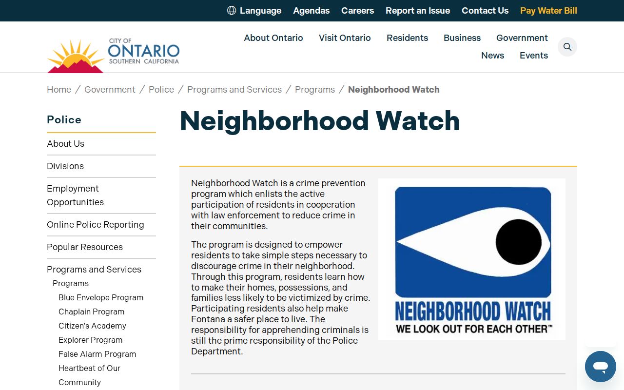
The city program image shows a community contact path rather than a searchable list of Ontario neighbors.
Ontario Neighbor HOA Contacts and Privacy
Ontario Ranch includes numerous planned communities and association layers, while established north and central neighborhoods rely more on city programs and informal groups. Public board or management contacts can help with an event, a maintenance question, or a community meeting. They do not imply that a member directory is public. Research found no authoritative citywide inventory of association names and directory status, so an Ontario neighbors page should not invent one.
Use a public association page only for the contact details it actually publishes. Do not ask a board to confirm whether a person lives in a unit. A community event flyer, officer page, or management address is an organization clue, not an occupant record.
| Community source | Safe use | Do not assume |
|---|---|---|
| Neighborhood Watch | Officer contact, meeting, safety program | Participant names or a household roster |
| Association page | Board, management, public notice | Membership or unit occupancy |
| Chamber or civic club | Voluntarily public officers or businesses | Private member address |
| Crime map | Generalized incident place and time | Identity of an occupant or neighbor |
Ontario Voter Status Cannot Browse Neighbors
California My Voter Status authenticates an individual with first name, last name, date of birth, and an identifying number or last four Social Security digits as the system requires. It returns that person's status, polling or ballot details, and district information when matched. It is not a name-based public street search.
Elections Code sections 2194 and 2188.5 restrict voter information and confidential portions. A full file request needs requester identity, organization, purpose, geographic scope, delivery medium, and certifications against prohibited use. A qualified analysis may use registration fields under the statute, but casual neighbor browsing is not the route.
| Official roll | Commercial neighbor tool |
|---|---|
| Purpose-limited, custodian-controlled data | May merge public and purchased data |
| Defined access and confidentiality rules | May lag moves, deaths, or corrections |
| Use only what the law permits | Requires source verification and lawful use |
The comparison is about reliability and limits, not a recommendation of commercial services. Original county and state custodians remain the stronger source.
Ontario Registry Tools Are Not Neighbor Lists
California's Megan's Law site can disclose certain registrant information through name or map-area tools, subject to statutory exclusions and a warning against misuse. The San Bernardino County inmate locator concerns current or recent county jail custody. The CDCR locator concerns people in state custody. None is a general list of residents around an Ontario address, and an arrest or booking is not a conviction.
Use a named case, booking, or registry question and follow the official limits. Do not convert a public safety tool into a block roster, and do not infer that a missing result proves a person is absent.
California Megan's Law and the San Bernardino County inmate locator are separate official routes.
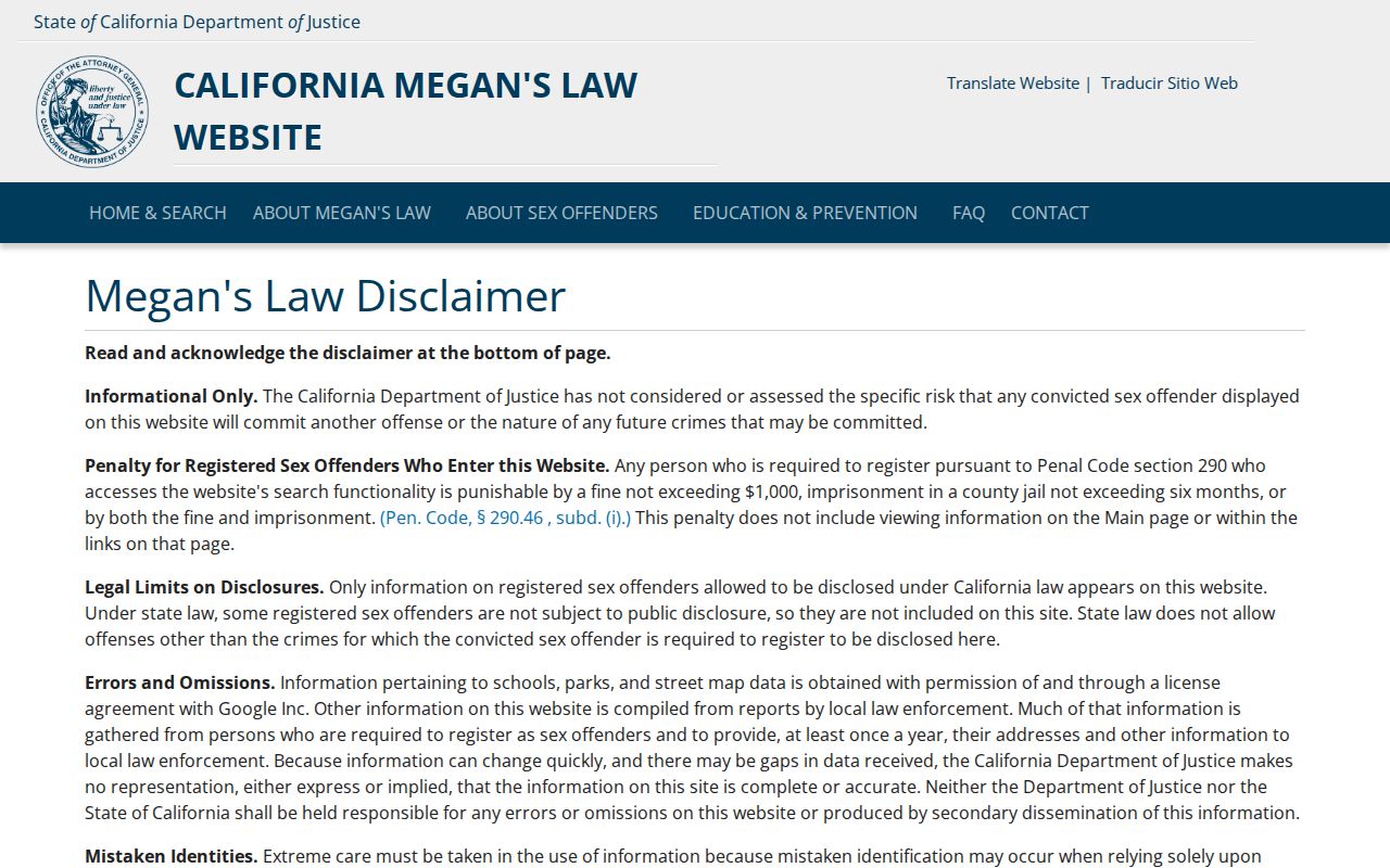
The registry image belongs in the legal-boundary discussion, not in a list of Ontario neighbors.
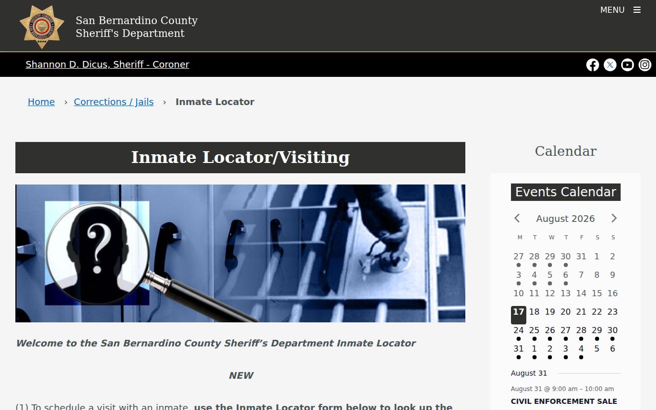
The custody locator is another example of a narrow record tool whose result should not be expanded beyond its stated purpose.
Ontario Neighbor Lien Warning Matters
On April 10, 2025, San Bernardino County officials warned residents about deceptive letters that referenced real recorded liens and demanded payment. The warning is relevant to a block search because a recorded document can be real while the person or company asking for money is not an official custodian. Verify a lien through the county index or Recorder-Clerk Services at 909-387-8306, and confirm tax questions with the Tax Collector at 909-387-8308.
Deed-copy solicitations can also quote a real document while adding a large markup. Compare the request with the county's posted $4 first-page and $1.50 additional-page schedule. Do not disclose financial data in response to an urgent letter, call, or message that uses an address clue.
Read the county lien-letter warning before acting on a property notice.
The warning illustrates the difference between a real public record and an untrusted request built around that record.
Privacy Limits on Ontario Neighbors
Every block search has a missing-person layer. Protected voters, Safe at Home participants, minors, unlisted directory residents, people whose assessor details are suppressed, and people who simply never appear in a public record remain outside a legitimate neighbor lookup. Utility and delivery-customer data is not a public substitute. The absence of a name is not proof of absence.
Keep the scope to adjacent parcels and the stated question. Record only the APN, source, date, and public fact needed for the research. If the goal shifts to a full street chain, use the by-street method. If it shifts to one person, use the Ontario resident lookup and verify the person's role.
Lawful use. Ontario neighbors research is for personal, lawful, family, property, safety, or civic purposes. Never use parcel or address information to stalk, harass, intimidate, expose, or harm another person.